
WXtrack
3.8.48.1100A complex and reliable software utility designed to offer users various tracks of international satellites and and the images they scan
Wxtrack is a tool that enables you to keep track and predict the paths of the weather satellites and even provide images produced by them when scanning the ground.
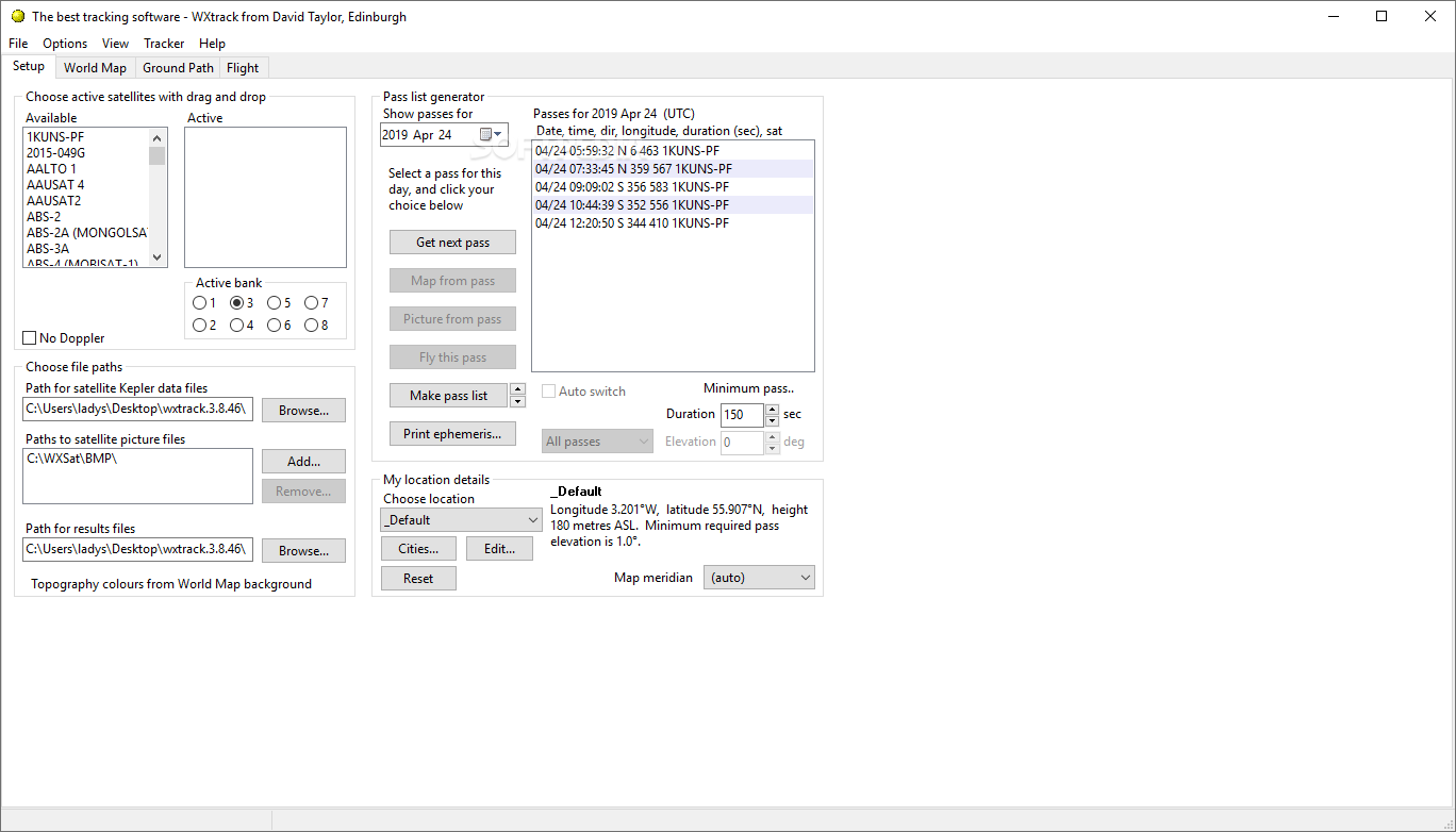
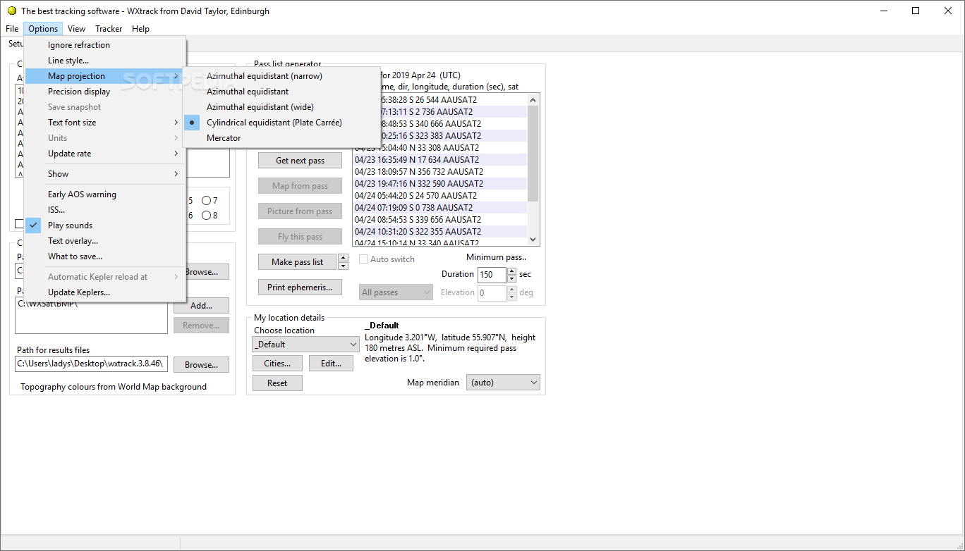
Following a quick and uneventful installation, you are welcome by a minimalistic and clean interface that features several tabs, representative for their tasks. Therefore, in the Setup tab, you can choose the active satellites and afterwards, check out the date, time, longitude and latitude of their paths for the current day.
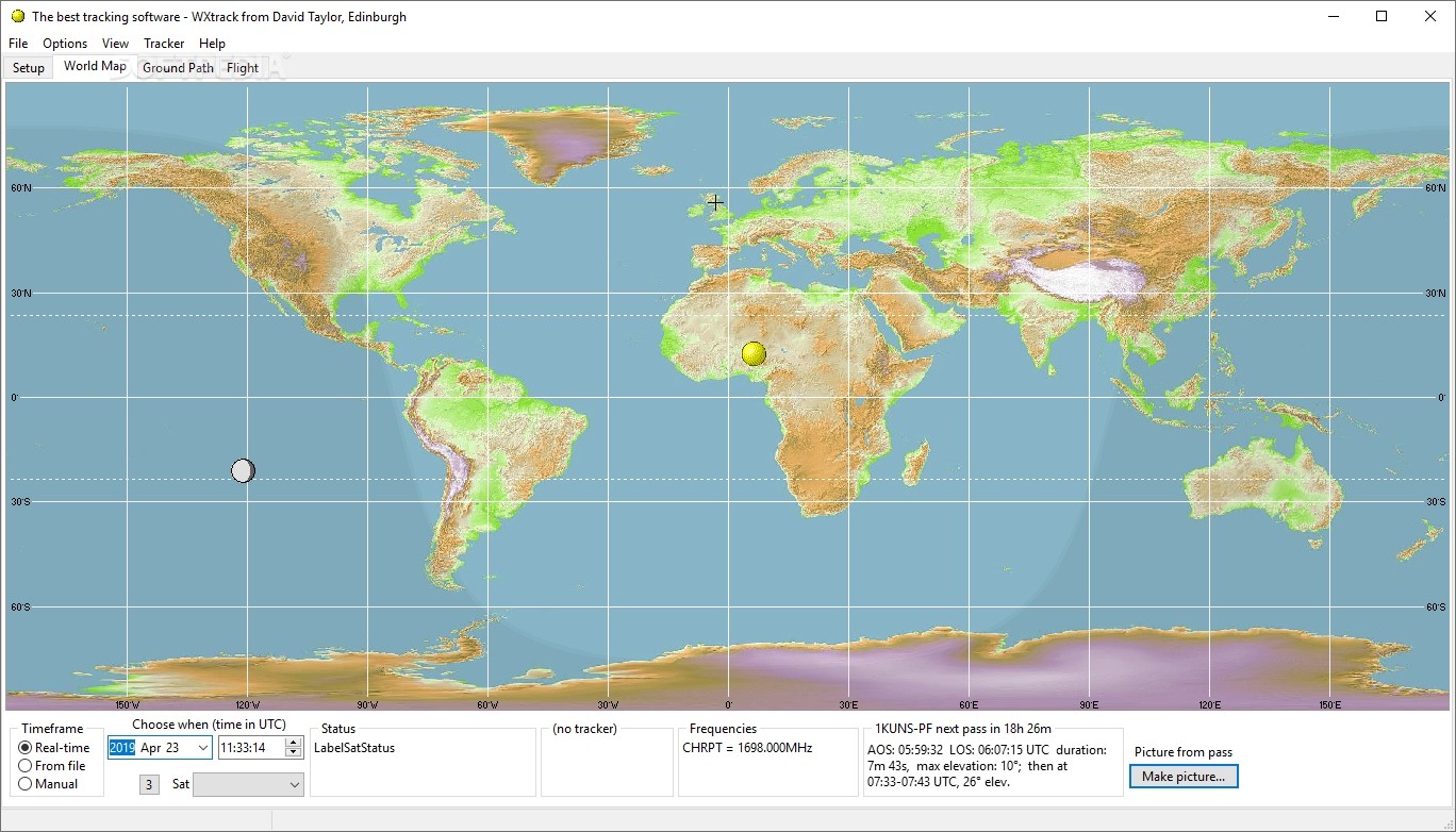
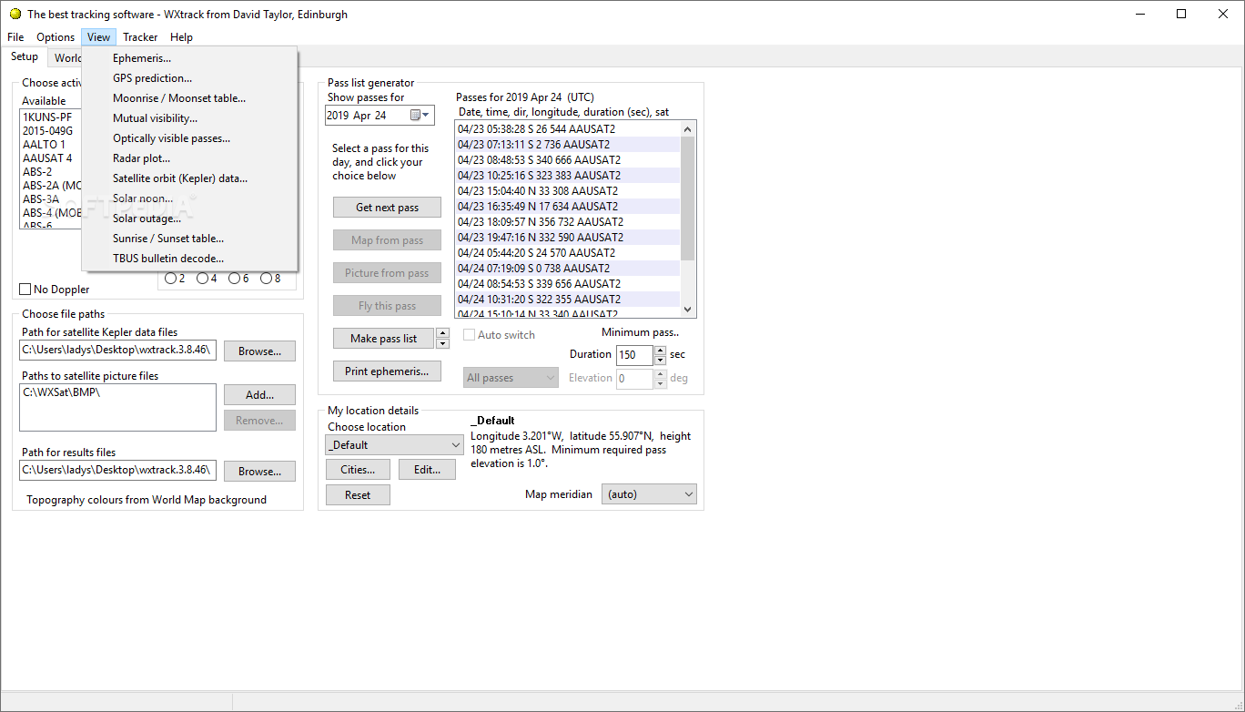
In the Word Map tab you can preview their current route and learn more details about where it is going to be located at a pre-defined time. You can also find out about the potential trackers and AAUSATS2 frequencies, if available. Speaking of trackers, the app can drive several systems including the ones with controllers based on EA4TX's ARSWIN, SeaTel, EasyComm, IF-100, FodTrack standard, so on and so forth. You can also check out the options for the time when the tracking should start, antenna offset, parking at pass end or flip-mode.
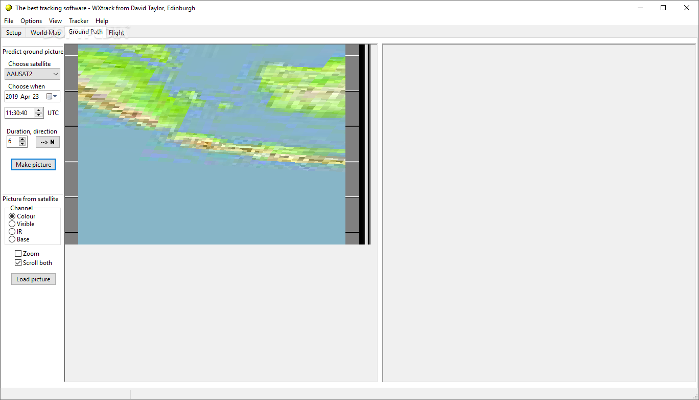
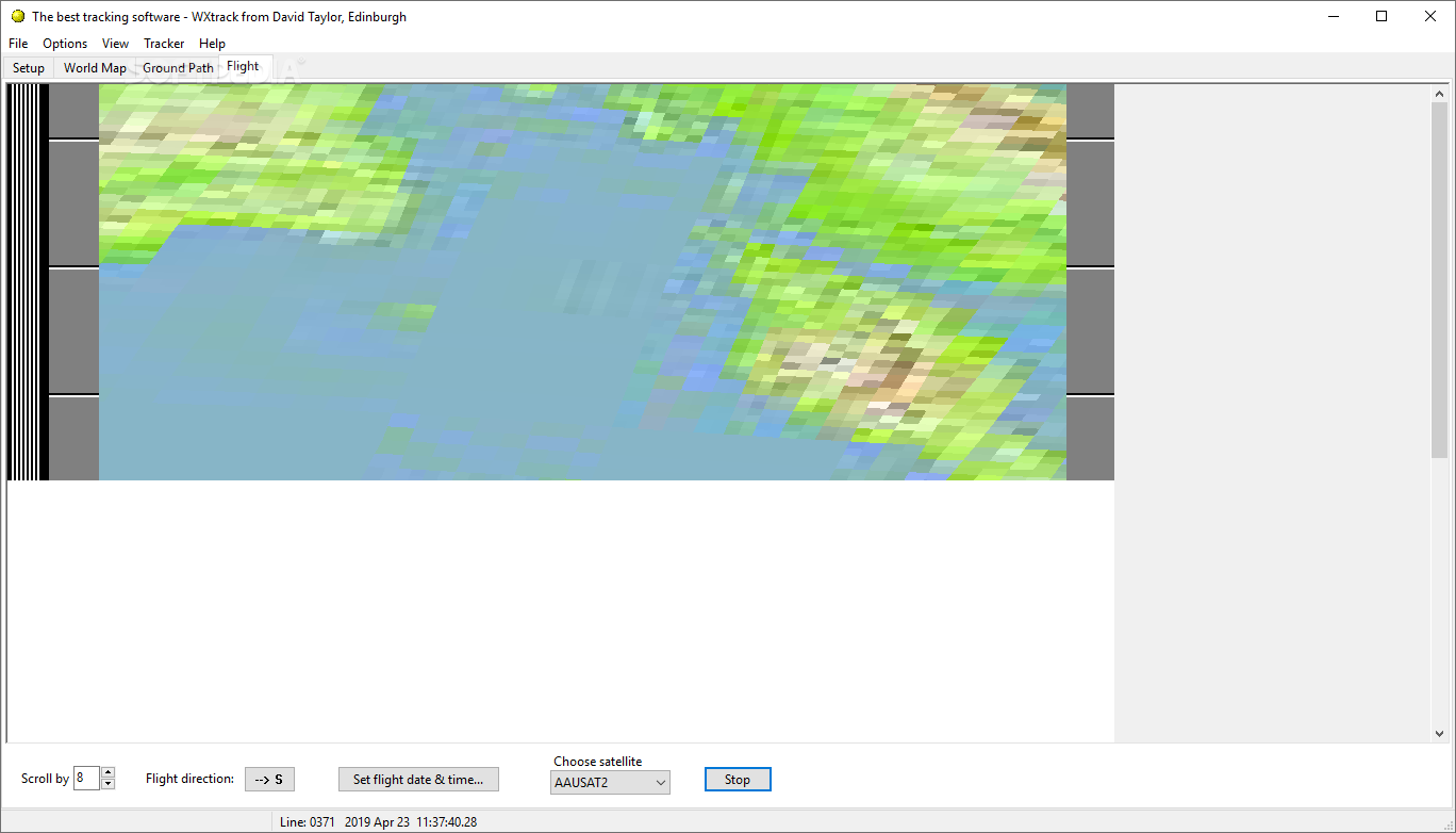
The program can also be configured to read satellite images from any desired folder and compare them with the ground track predictions. Thanks to the minute markers that are used on the predicted images, you can be sure that they match those on NOAA APT transmissions, so you can make visual correlations easier.
According to the developer, the application has several limitations, including the fact that most dates and times are displayed in UTC. Take note that the developer did not have access to all available parameters for RESURS and METEOR, so most paths predicted are best estimates that are obtained via the received pictures.
In addition, the RESURS does not always scan symmetrically with a southbound image being centered slightly further west than the predicted path. Nevertheless, Wxtrack is a widely used by universities across the globe as well as satellite enthusiasts.
The app can drive several antenna tracking systems
Following a quick and uneventful installation, you are welcome by a minimalistic and clean interface that features several tabs, representative for their tasks. Therefore, in the Setup tab, you can choose the active satellites and afterwards, check out the date, time, longitude and latitude of their paths for the current day.
In the Word Map tab you can preview their current route and learn more details about where it is going to be located at a pre-defined time. You can also find out about the potential trackers and AAUSATS2 frequencies, if available. Speaking of trackers, the app can drive several systems including the ones with controllers based on EA4TX's ARSWIN, SeaTel, EasyComm, IF-100, FodTrack standard, so on and so forth. You can also check out the options for the time when the tracking should start, antenna offset, parking at pass end or flip-mode.
The program can also be configured to read satellite images from any desired folder and compare them with the ground track predictions. Thanks to the minute markers that are used on the predicted images, you can be sure that they match those on NOAA APT transmissions, so you can make visual correlations easier.
A handy tool for anyone interested in tracking satellites
According to the developer, the application has several limitations, including the fact that most dates and times are displayed in UTC. Take note that the developer did not have access to all available parameters for RESURS and METEOR, so most paths predicted are best estimates that are obtained via the received pictures.
In addition, the RESURS does not always scan symmetrically with a southbound image being centered slightly further west than the predicted path. Nevertheless, Wxtrack is a widely used by universities across the globe as well as satellite enthusiasts.
1.4 MB
Info
Update Date
Jul 07 2021
Version
3.8.48.1100
License
Demo
Created By
David J Taylor
Related software CAD


