
Manifold Viewer
9.0.175This lightweight, specialized viewer will help you visualize, blend and analyze GIS or DBMS data from hundreds of formats and sources
Geographical Information System suites oftentimes incorporate a great deal of inherent complexity, which is especially prominent in the abundance of tools and their subsequent characteristics. Sometimes all that users require is a solid, capable viewer, which can help them visualize and juggle with geospatial data in an efficient way. Manifold Viewer will provide all the aforementioned, coupled with the ability to also perform analysis and browse considerably large datasets with ease.
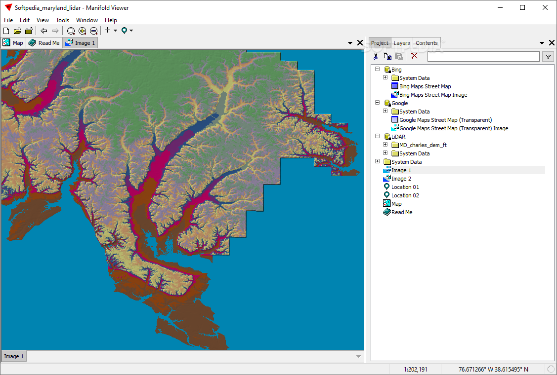
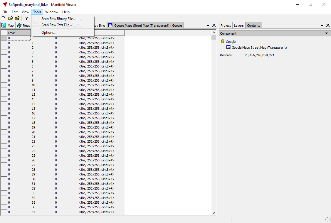
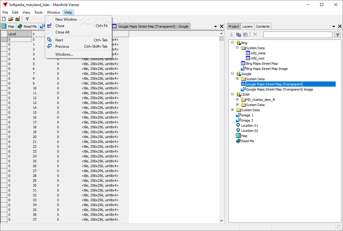
Regardless if you’ve previously used GIS software or not, the layout design present in Manifold Viewer exudes the logic of a geospatial data workflow. A designated map viewing area also serves as a table record preview zone and an adjacent panel helps keep an eye on all loaded layers.
Although more established GIS suites such as ArcGIS feature more intricate interfaces and layout options, this software has its emphasis oriented on effective user operation.
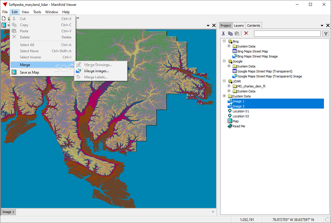
Besides the excellent geospatial layer viewing offered by the app, those who require a bit of numbers from their data can also perform basic spatial analysis. Furthermore, it was nice to see that the app also comes packed with a dedicated vector feature editing tool.
Considering the overall “snappy” feel when working even with medium-sized datasets and the well-designed features, makes Manifold Viewer ideal for geospatial data visualization. Especially when it comes to really large datasets, as shown by the developer with a 110 GB imagery set in this demo video.
Be it raster or vector data with tabular information attached, this program shines when it comes to viewing and exploring such datasets. Designed with effectiveness in mind, it offers users a set of capable geospatial layers display tools.
Logical data view layout that enhances handling and improves efficiency
Regardless if you’ve previously used GIS software or not, the layout design present in Manifold Viewer exudes the logic of a geospatial data workflow. A designated map viewing area also serves as a table record preview zone and an adjacent panel helps keep an eye on all loaded layers.
Although more established GIS suites such as ArcGIS feature more intricate interfaces and layout options, this software has its emphasis oriented on effective user operation.
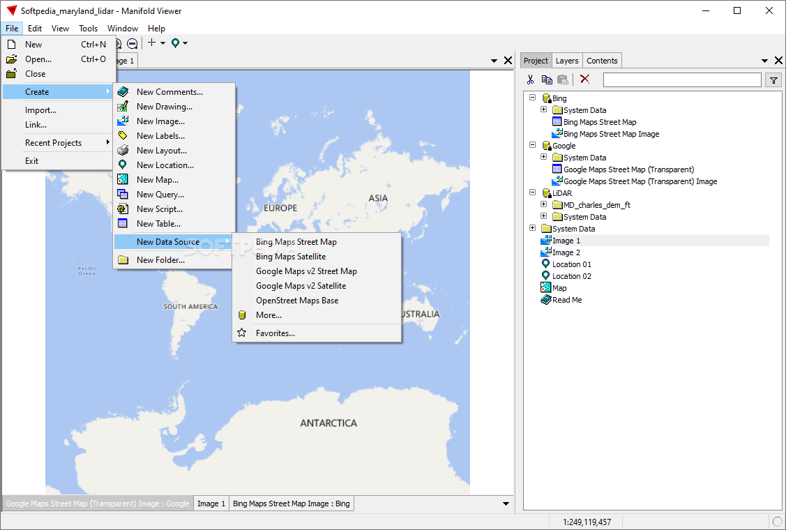
If you require more than just viewing capabilities, you can try the feature creation or attribute table tools
Besides the excellent geospatial layer viewing offered by the app, those who require a bit of numbers from their data can also perform basic spatial analysis. Furthermore, it was nice to see that the app also comes packed with a dedicated vector feature editing tool.
Considering the overall “snappy” feel when working even with medium-sized datasets and the well-designed features, makes Manifold Viewer ideal for geospatial data visualization. Especially when it comes to really large datasets, as shown by the developer with a 110 GB imagery set in this demo video.
Solid geospatial data viewer that offers consistent performance throughout and also packs a punch in the analysis department
Be it raster or vector data with tabular information attached, this program shines when it comes to viewing and exploring such datasets. Designed with effectiveness in mind, it offers users a set of capable geospatial layers display tools.
34.2 MB
Info
Update Date
Aug 15 2021
Version
9.0.175
License
Freeware
Created By
Manifold Software Limited
Related software CAD


