
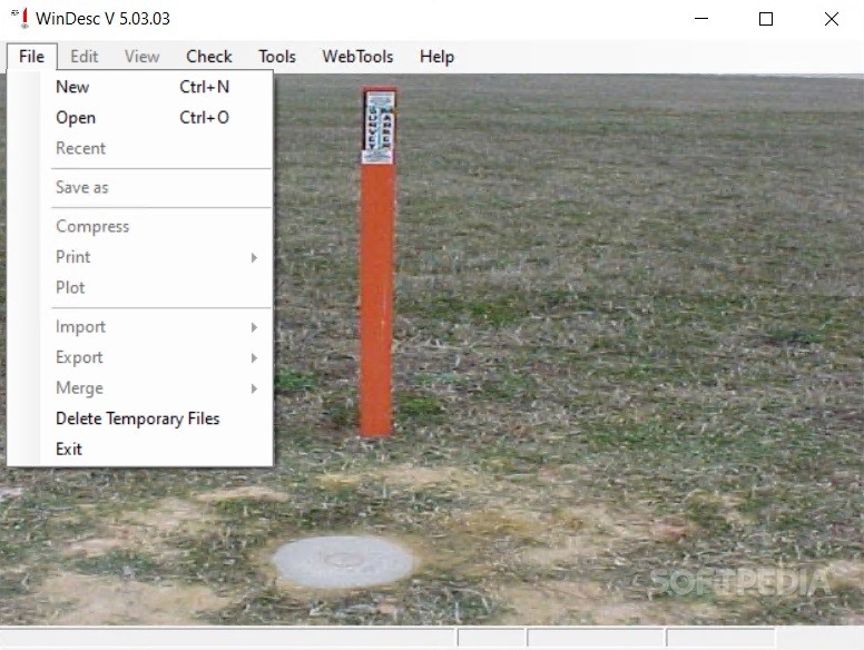
WinDesc
5.03.03WinDesc is a handy program designed specifically for creating, editing, and formatting the files that include geodetic descriptions
With WinDesc, surveying land for height information should be an easier job. Why? Well, because if you've got the details, this app can help you transform them into a full-fledged project, with no extra terrain measurements required. It can also help one, better organize the info that has been collected while surveying a certain portion of land. The bottom line is that if you're somehow tied to space analysis, this app can definitely be a great aid.
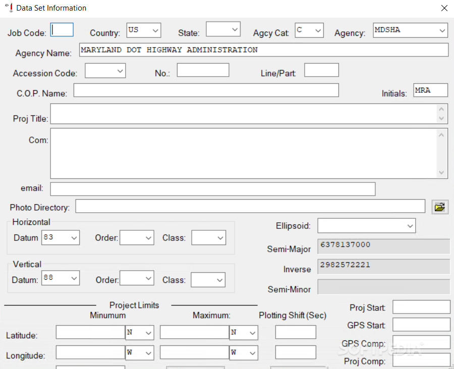
If you want to create a new project, which is most likely what you'll be doing the first time you launch the app, an intricate info sheet will be presented to you. Hoping that you've got all the required data, all that's necessary is for it to be inputted in the various fields. You'll have to fill in things such as Job Code, Country and location-based info, GPS coordinates for the surveyed land, Project Title, and space-related particularities. One can also add a series of comments if there are any to be left.
The idea is that you'll be able to access information much quicker through this app, edit it, and enhance it upon new discoveries. Less time spent searching means more time dedicated to what you're actually supposed to do — survey. It is equally advantageous for individuals who have more than one surveying project going at once. It can also work for national or international projects, especially since there's much to cover and everything is split into tiny parts.
WinDesc can indeed help with mapping land in a simpler and even more fashionable way. It also allows one to properly document these events with photos and other materials that can be associated upon project creation. The ability to add later edits also means you can keep an eye on the evolution of the project itself.
Filling in the data
If you want to create a new project, which is most likely what you'll be doing the first time you launch the app, an intricate info sheet will be presented to you. Hoping that you've got all the required data, all that's necessary is for it to be inputted in the various fields. You'll have to fill in things such as Job Code, Country and location-based info, GPS coordinates for the surveyed land, Project Title, and space-related particularities. One can also add a series of comments if there are any to be left.
Registered, thus orderly
The idea is that you'll be able to access information much quicker through this app, edit it, and enhance it upon new discoveries. Less time spent searching means more time dedicated to what you're actually supposed to do — survey. It is equally advantageous for individuals who have more than one surveying project going at once. It can also work for national or international projects, especially since there's much to cover and everything is split into tiny parts.
WinDesc can indeed help with mapping land in a simpler and even more fashionable way. It also allows one to properly document these events with photos and other materials that can be associated upon project creation. The ability to add later edits also means you can keep an eye on the evolution of the project itself.
9.5 MB
Info
Update Date
Jan 27 2021
Version
5.03.03
License
Freeware
Created By
National Geodetic Survey
Related software CAD


