
Spatial Manager Desktop
7.0.2 Build 10963A complete application whose main purpose resides in helping you manage spatial data for various planning and infrastructure projects
Spatial Manager Desktop is a comprehensive and reliable software solution that was developed to assist you in successfully managing spatial data necessary in planning, infrastructure or construction projects.
In terms of appearance, the program is well-organized and accessible, even for less advanced individuals, its tabbed interface enabling you to easily switch between the sections that you need to work with.
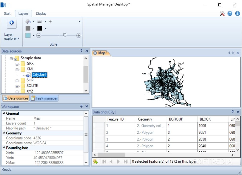
The main window of Spatial Manager Desktop displays the workspace, where your map is displayed, while in side panels, you can view the ‘Data Sources’ and the ‘Data Grid’, along with additional details about a selected ‘Feature’.
To get things started, you will need to load your SPM file into the application or browse through your system and input the ‘Data Sources’, in the form of various file formats, for instance GPX, KML, SHP, SQLITE or XYZ.
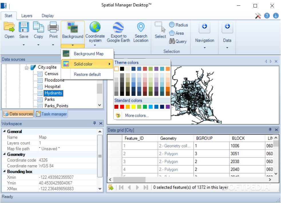
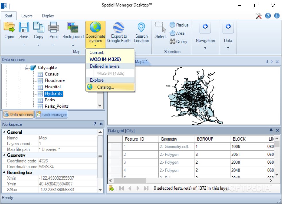
After loading your source files, you can export a selected layer’s features, or separate one layer into several others. Similarly, you can create a new layer, invert the currently selected one or run a ‘Spatial Query’. You can also select the preferred ‘Coordinate System’ as defined in the map, the source or the layers.
Moreover, you can calculate surface areas and radius values of a selected region on your map, while the zoom functions allow you to analyze your map, extensions or layers in detail, either by using the mouse cursor wheel,the context menu options or the corresponding button in Spatial Manager Desktop’s ribbon.
In conclusion, Spatial Manager Desktop is an advanced and efficient application that can spare you of a lot of wasted time and effort by enabling you to work with all your spatial data from a single location.
Neatly-structured and practical GUI
In terms of appearance, the program is well-organized and accessible, even for less advanced individuals, its tabbed interface enabling you to easily switch between the sections that you need to work with.
The main window of Spatial Manager Desktop displays the workspace, where your map is displayed, while in side panels, you can view the ‘Data Sources’ and the ‘Data Grid’, along with additional details about a selected ‘Feature’.
Effortlessly manage spatial data for various projects
To get things started, you will need to load your SPM file into the application or browse through your system and input the ‘Data Sources’, in the form of various file formats, for instance GPX, KML, SHP, SQLITE or XYZ.
After loading your source files, you can export a selected layer’s features, or separate one layer into several others. Similarly, you can create a new layer, invert the currently selected one or run a ‘Spatial Query’. You can also select the preferred ‘Coordinate System’ as defined in the map, the source or the layers.
Moreover, you can calculate surface areas and radius values of a selected region on your map, while the zoom functions allow you to analyze your map, extensions or layers in detail, either by using the mouse cursor wheel,the context menu options or the corresponding button in Spatial Manager Desktop’s ribbon.
A handy tool for handling spatial data
In conclusion, Spatial Manager Desktop is an advanced and efficient application that can spare you of a lot of wasted time and effort by enabling you to work with all your spatial data from a single location.
222 MB
Info
Update Date
Aug 25 2021
Version
7.0.2 Build 10963
License
Trial
Created By
Opencartis
Related software CAD


