
HEC-HMS
4.8 Build 15234 / 4.9 Beta 1Perform highly customizable hydrological simulations with this modeler app that provides increased parameterization and an ample collection of hydrologic modeling tools
Hydrological modeling can be a truly complex undertaking, especially when we consider the large numbers of factors that come into play, as well as their inherent variability, both spatial and temporal. Entirely honed for providing the specific tools for running hydrological simulations for dendritic or branched watersheds, HEC-HMS will empower users with a comprehensive collection of tools for performing an in-depth analysis of processes such as event infiltration, unit hydrographs, as well as hydrological routing.
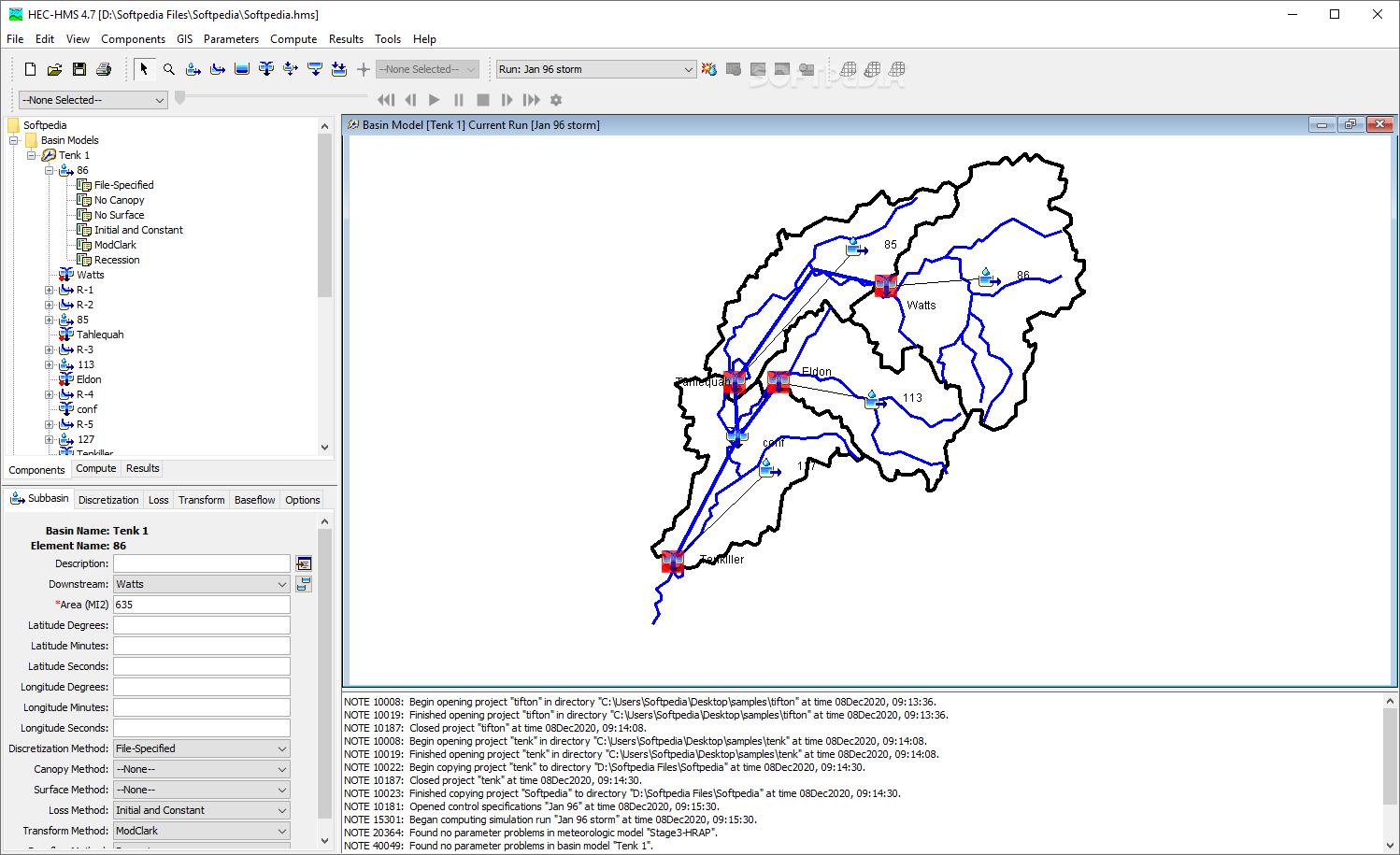
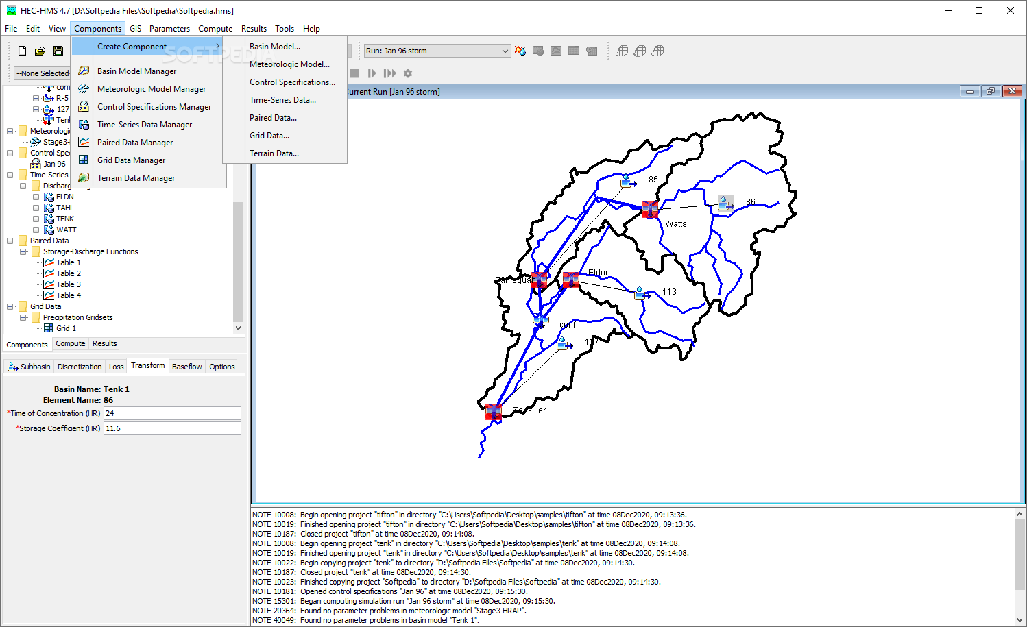
Those who are accustomed to working in a GIS environment will have no trouble transitioning to HEC-HMS, as the general layout is very similar to a standard one found in GIS. All data is quickly accessible thanks to the layers panel and the main working area can be either tiled or maximized, according to your requirements.
A multitude of hydrological variables can be created, edited, and managed, which very well define the scope of any hydrological modeling approach. Watersheds, weather data, time-series or even terrain data.
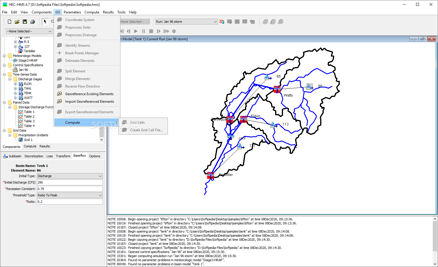
Thanks to the plethora of parameters available and the increased range of adjustability for each, users can perform real customization for their data, in a very detailed fashion. Each parameter features a dedicated module, and unlike GIS software that could require maintaining all the layers in a strict, ordered manner, more leniency is offered.
It is worth noting though, that if you proceed with simulations that encompass a broad range of parameters, over a long period of time, do expect a quite significant processing time, especially if lacking a dedicated workstation.
With tools to fill and supersede the expectations of both amateur and professional hydrologists alike, this program will help you achieve highly detailed hydrological simulations for watersheds of different orders and types.
GIS-based interface that carries a layout that is adapted in order to provide easy handling for variables such as basins, time-series data, terrain and more
Those who are accustomed to working in a GIS environment will have no trouble transitioning to HEC-HMS, as the general layout is very similar to a standard one found in GIS. All data is quickly accessible thanks to the layers panel and the main working area can be either tiled or maximized, according to your requirements.
A multitude of hydrological variables can be created, edited, and managed, which very well define the scope of any hydrological modeling approach. Watersheds, weather data, time-series or even terrain data.
Achieve a truly parametrized model, thanks to an abundance of adjustability and specialized, hydrological modelling tools
Thanks to the plethora of parameters available and the increased range of adjustability for each, users can perform real customization for their data, in a very detailed fashion. Each parameter features a dedicated module, and unlike GIS software that could require maintaining all the layers in a strict, ordered manner, more leniency is offered.
It is worth noting though, that if you proceed with simulations that encompass a broad range of parameters, over a long period of time, do expect a quite significant processing time, especially if lacking a dedicated workstation.
Must-have hydro-modelling suite for those who wish to take their watershed simulations one step further
With tools to fill and supersede the expectations of both amateur and professional hydrologists alike, this program will help you achieve highly detailed hydrological simulations for watersheds of different orders and types.
199 MB
Info
Update Date
May 05 2021
Version
4.8 Build 15234 / 4.9 Beta 1
License
Freeware
Created By
Hydrologic Engineering Center (HEC)
Related software CAD


