
FDO Toolbox
1.5.1.180A multi-purpose geospatial tool, useful for creating, analyzing, processing and managing data regarding elements that are present in a geographical space or area
Geospatial data, or simply put geodata is information that reveals where things are located within a certain coordinate system. Geodata is used to describe information that has direct ties to a physical location on the planet, but the meaning transcended that definition, allowing anything represented as spatial data, or being part of a coordinate system to be related as geospatial data. Its utility is now more complex, covering diverse industries like engineering, construction, transports, logistics, retail, health care, and more.
FDO Toolkit is a lightweight application that can help one create, analyze, process, or manage geodata. However, this tool is oriented towards those users who already know what geodata management means. As a result, is nothing to explore for those who are not familiar with this field.
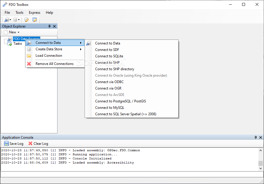
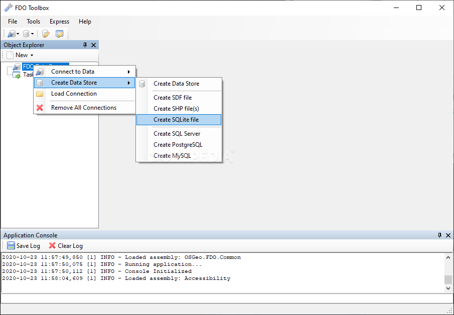
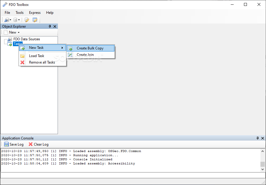
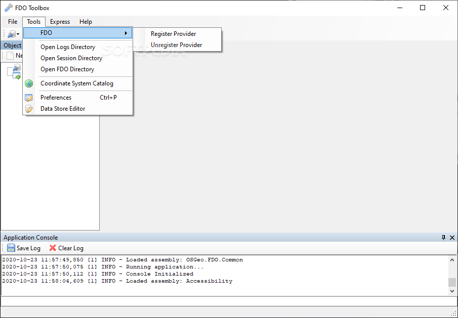
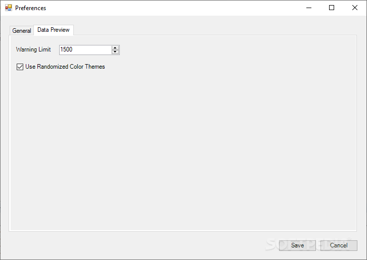
Among its most important features, the toolkit sport a data preview method, a batching/automation function, spatial/non-spatial data integration, and extensibility. While most of the functions are well-explained and still applicable, the extensibility side may not be doing very well. The reason behind this being the impossibility to access the add-in page, which could have been used to customize the UI and add new commands.
For what it's worth, FDO Toolkit is a professional application that should help geodata-savvy users process their information.
FDO Toolkit is a lightweight application that can help one create, analyze, process, or manage geodata. However, this tool is oriented towards those users who already know what geodata management means. As a result, is nothing to explore for those who are not familiar with this field.
Among its most important features, the toolkit sport a data preview method, a batching/automation function, spatial/non-spatial data integration, and extensibility. While most of the functions are well-explained and still applicable, the extensibility side may not be doing very well. The reason behind this being the impossibility to access the add-in page, which could have been used to customize the UI and add new commands.
For what it's worth, FDO Toolkit is a professional application that should help geodata-savvy users process their information.
System requirements
31.1 MB
Info
Update Date
Oct 22 2020
Version
1.5.1.180
License
LGPL
Created By
Jackie Ng
Related software CAD


