ALTLAS Trails & Maps: Walking trails & Elevation
2.2.2T
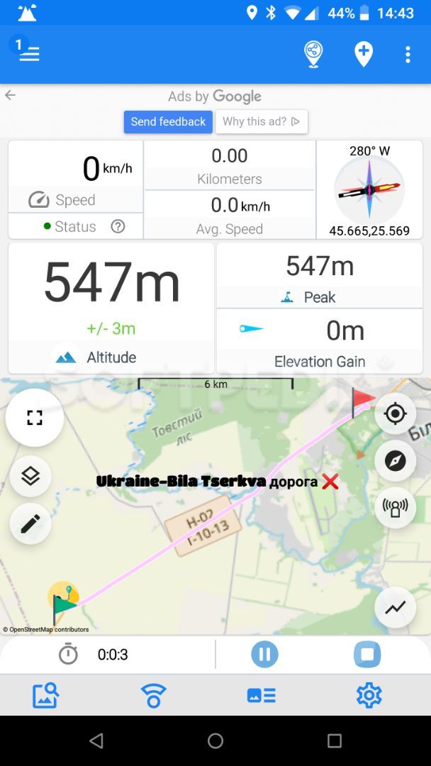
The main screen of the app is also the screen from where you can start recording your activity. It includes several instrument panels that show details on the altitude and peak, elevation gain, or current speed.
Moreover, you can see the distance and time, a compass and, a map with the current location. Zoom out to see the available trail routes around you. If logged in, you can share your trip with friends from the upper right corner of the screen. Save a location point to your history from the same region of the screen, view a video example, or import a GPX file.
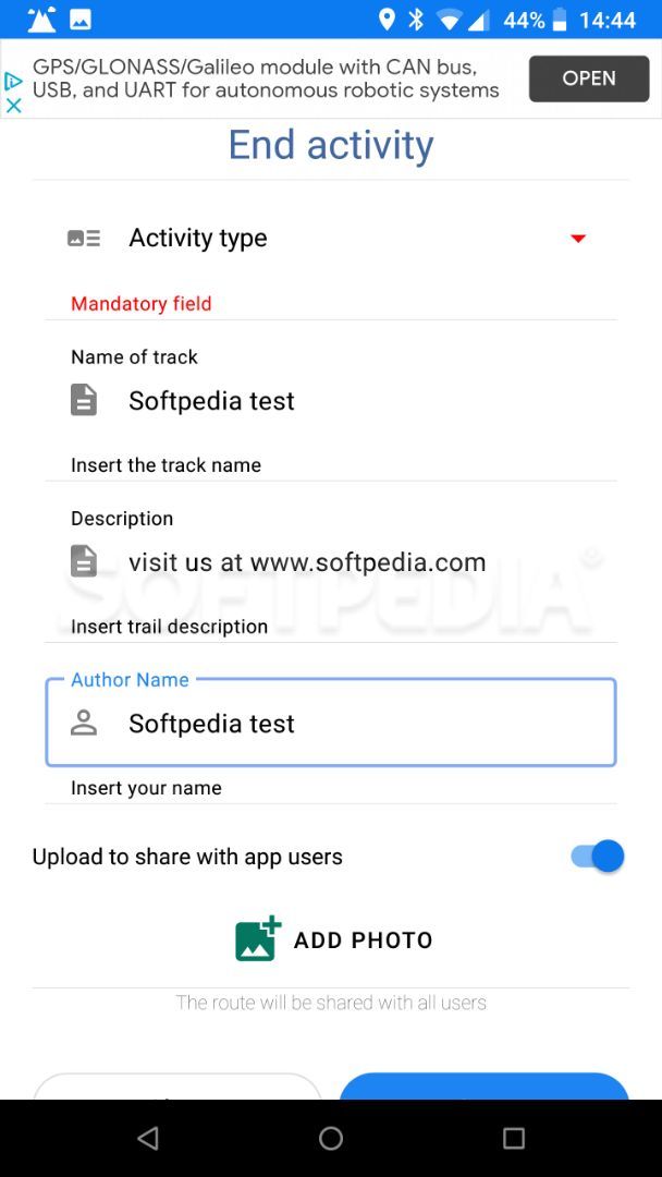
At the end of each activity, you must enter the name of that track and select the activity type. In addition, the app lets you also add photos and share them with friends.
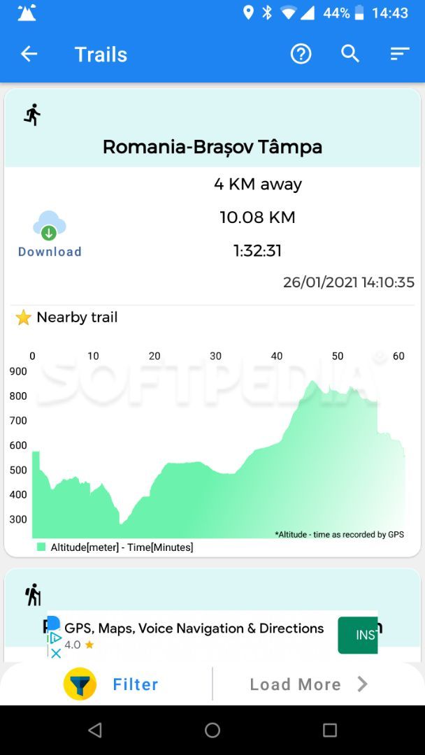
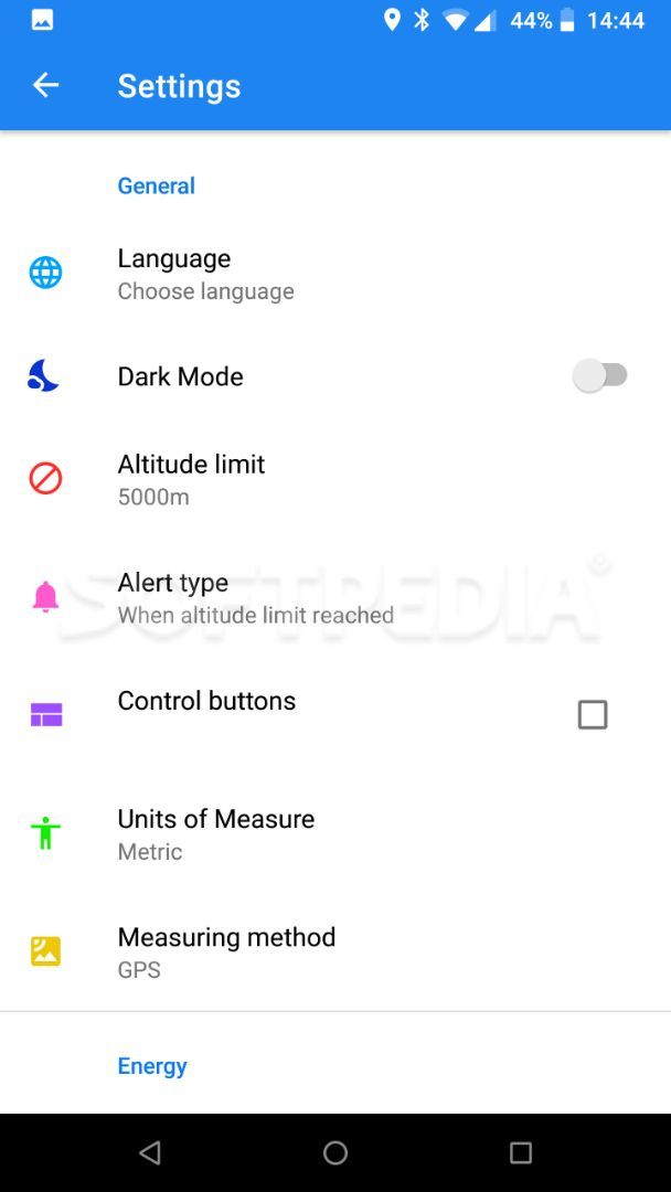
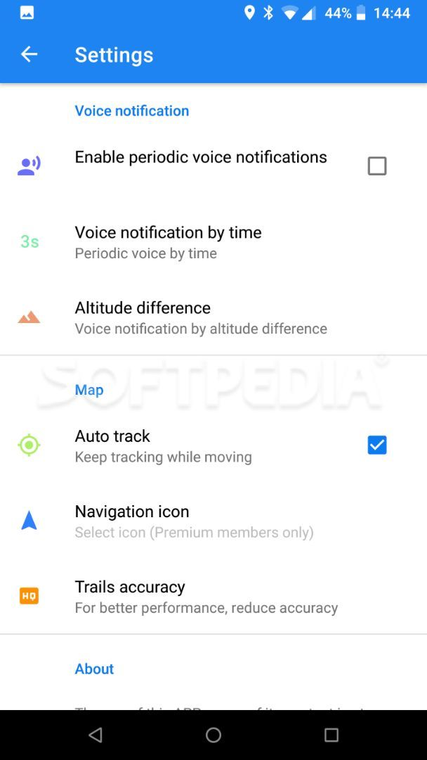
Access the History section to review your activities, recent location points, and export the track as a GPX file. From the Settings window of the app, you can set the altitude limit and alert type. Furthermore, switch from the metric system to imperial, adjust the energy-saving settings, the voice notification level and, map tracking accuracy.
Moreover, you can see the distance and time, a compass and, a map with the current location. Zoom out to see the available trail routes around you. If logged in, you can share your trip with friends from the upper right corner of the screen. Save a location point to your history from the same region of the screen, view a video example, or import a GPX file.
At the end of each activity, you must enter the name of that track and select the activity type. In addition, the app lets you also add photos and share them with friends.
Access the History section to review your activities, recent location points, and export the track as a GPX file. From the Settings window of the app, you can set the altitude limit and alert type. Furthermore, switch from the metric system to imperial, adjust the energy-saving settings, the voice notification level and, map tracking accuracy.
18.7 MB
Info
Related